Thinking big to solve the flood risk challenges posed by climate change
“You are thinking like a civil engineer” I was told by one of our collaborators in a meeting. “We need people to think bigger than that”.
I was stunned. I’ve always considered that my role as an engineer was to think big. How else could we possibly tackle the threats faced by urbanisation, climate change and flooding and still deliver sustainable and liveable cities without thinking big?
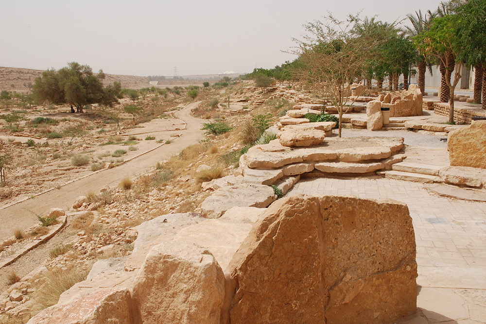
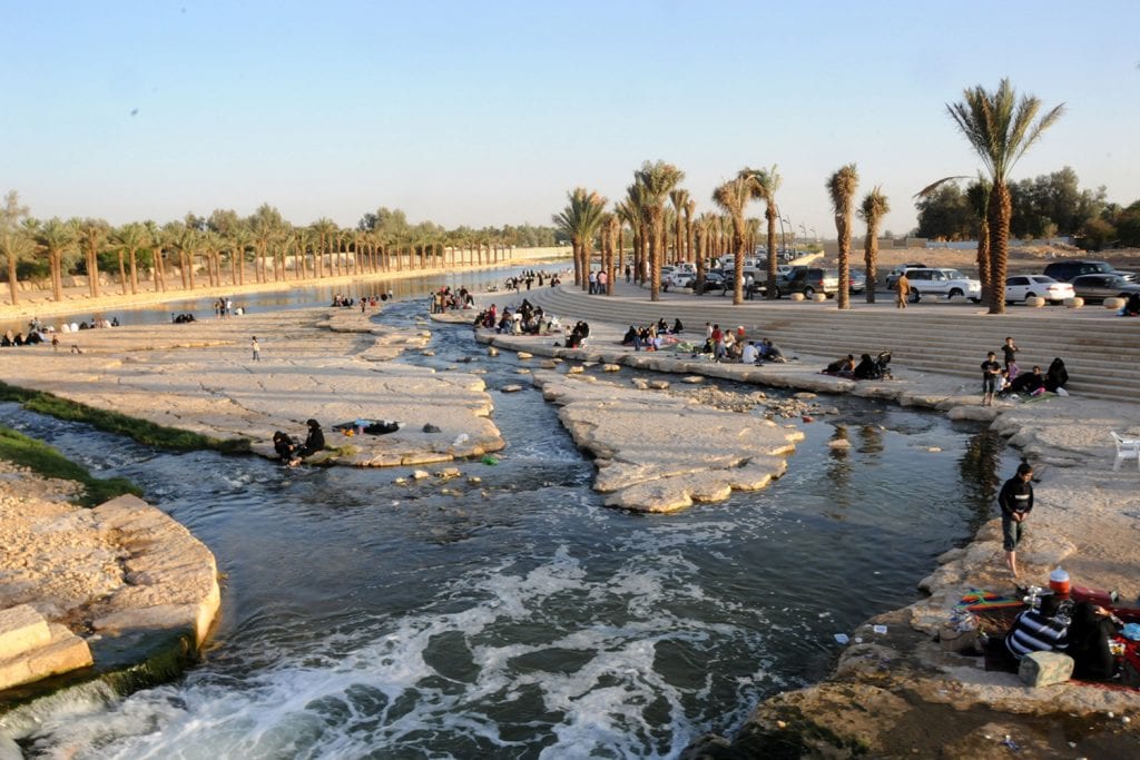
In our article Green Space as Alternative Infrastructure, we stressed the importance of green space in reducing urban flooding in Riyadh. This flexible approach to stormwater management in the public realm is necessary to address the increased risk associated with climate change. Without a clear understanding of the current and future risk, delivering an effective solution to address the effects of climate change is much more difficult.
Climate change’s impact on flood risk has been put into perspective by Kulp and Strauss in their October 2019 paper. Their work concluded that the number of people living in areas below high tide levels in 2100 is three times greater than previously estimated. The majority of those affected live in waterside cities which are still expanding with global urbanisation.

In many areas of the world, information identifying areas at risk of flooding is not extensively available. Often the areas in which new development is occurring at the greatest rate are those with the least detailed information. Without appropriate tools to direct new development to lower risk areas the number of people at risk of flooding will continue to increase.
According to the UN Sustainable Development Goals Report 2020, between 1990 and 2015 the urban area expanded globally at a greater rate than our urban populations. Continued expansion on the city periphery results in greater urban sprawl and lower average population densities. This has knock-on impacts for city systems including transportation, utilities, green space and sustainable use of resources.

Historically urban flooding has been addressed through the ‘drained city’ model – where floodwater is removed elsewhere through large drainage networks. This approach is unsustainable, as our historic infrastructure will eventually run out of capacity for further expansion.
There are good examples of moves away from this approach in Europe, the United States and Australia. Examples like Portland, Oregon, or Melbourne Australia show that sustainable blue/green infrastructure can be delivered sympathetically in the urban realm.
Despite significant evidence for human induced climate change, its application in flood risk assessment is still variable globally.
Despite significant evidence for human induced climate change, its application in flood risk assessment is still variable globally. There is a reluctance to invest in infrastructure today to protect against future and uncertain risks. With tightening budgets, more flexible approaches need to be brought forward to bring resilience to our cities.

The key step is linking the need to manage stormwater with the other societal needs of the city. Better baseline information is required, identifying the areas at risk of flooding, before new development is planned. With a clear understanding of the risks, higher quality and more synergistic urban interventions can be planned.
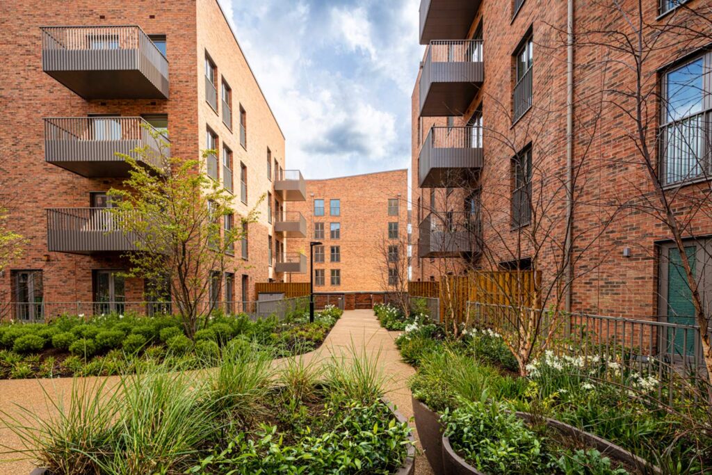
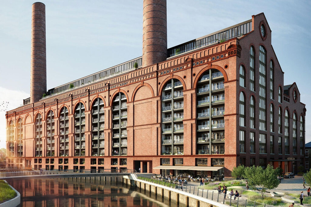
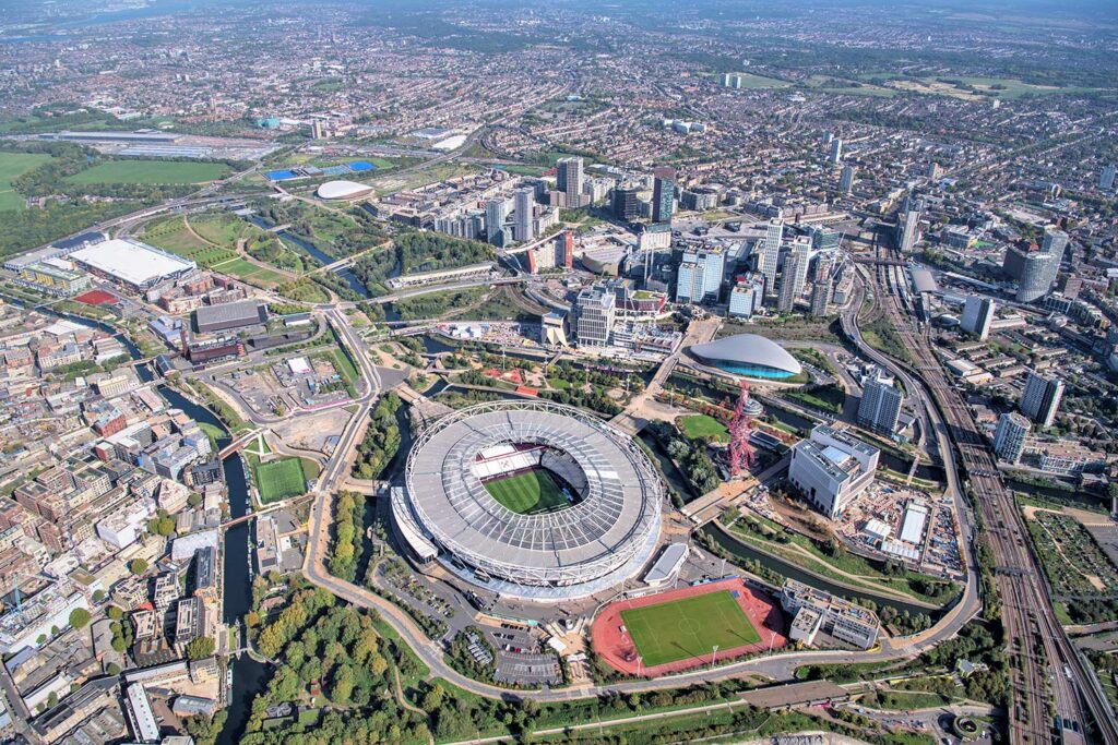
Buro Happold’s work in the Lower Lea Valley, part of the London 2012 Olympic Games, utilised an integrated hydraulic and landscape planning approach. The management of flood risk through the evolution of the landscape design was a key part of delivering maximum value across both systems. The final park design resulted in reduced flood risk to approximately 4,000 properties in the 1 in 100 year event and was demonstrated through flood mapping. Few visitors to the Olympic Park will be aware of the added value provided by the parklands and public realm.

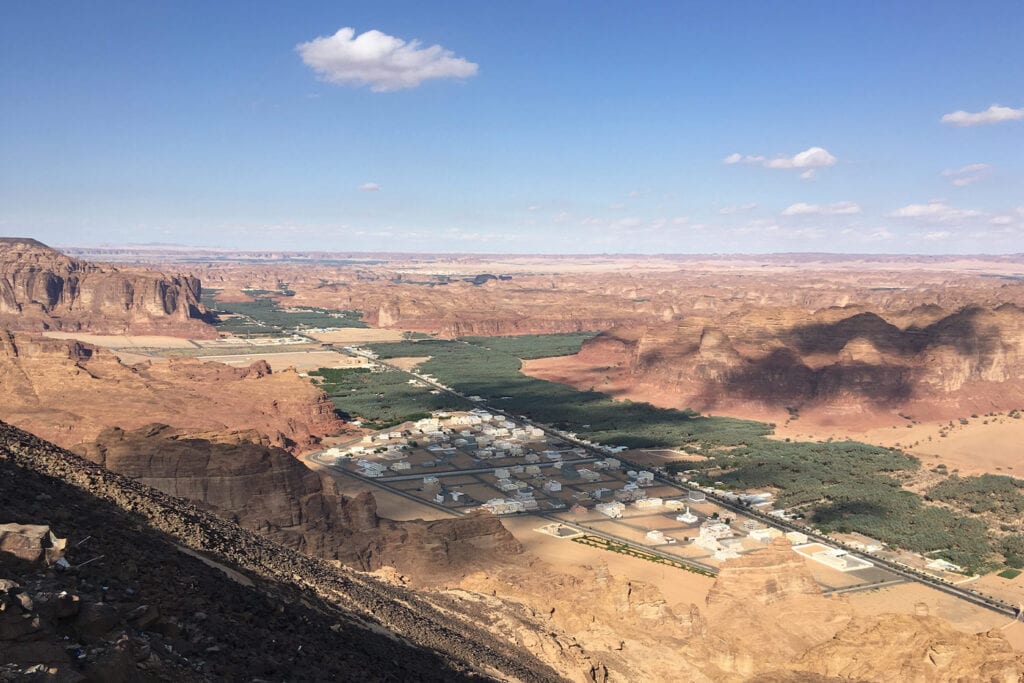
Buro Happold is working with government organisations in Saudi Arabia to produce flood risk mapping for previously unmapped regions. The flood maps inform strategic planning of new development and help direct vulnerable development to areas of lower risk. Long term resilience is built-in through consideration of the effects of climate change, illustrating the evolution of the risk over time.
In both projects, the value is provided by early engagement from the engineers – identifying the constraints and mapping out the opportunities. It is imperative that the Engineer is involved from project conception. We need to know where we are starting from, what is our baseline position. The flood mapping prepared by Buro Happold’s flood risk consultants is an example of defining that starting point and guiding the project delivery.
In order to minimise risk to city or development users over a lifetime, we must agree on what we want to achieve and how we want to do it. Moving from a drained city model towards a more coordinated green infrastructure approach in Riyadh is an example of Buro Happold driving holistic thinking.
Kulp and Strauss have identified the scale of just one problem we are facing with climate change. If we are going to find solutions to these problems, we need people to think big.
We need more people to think like civil engineers!