Wadi Hanifah Flood Management Plan
Riyadh, Saudi Arabia
Project details
Client
Arriyadh Development Authority
Architect
Landscape Architect: Moriyama and Teshima Planners
Services provided by Buro Happold
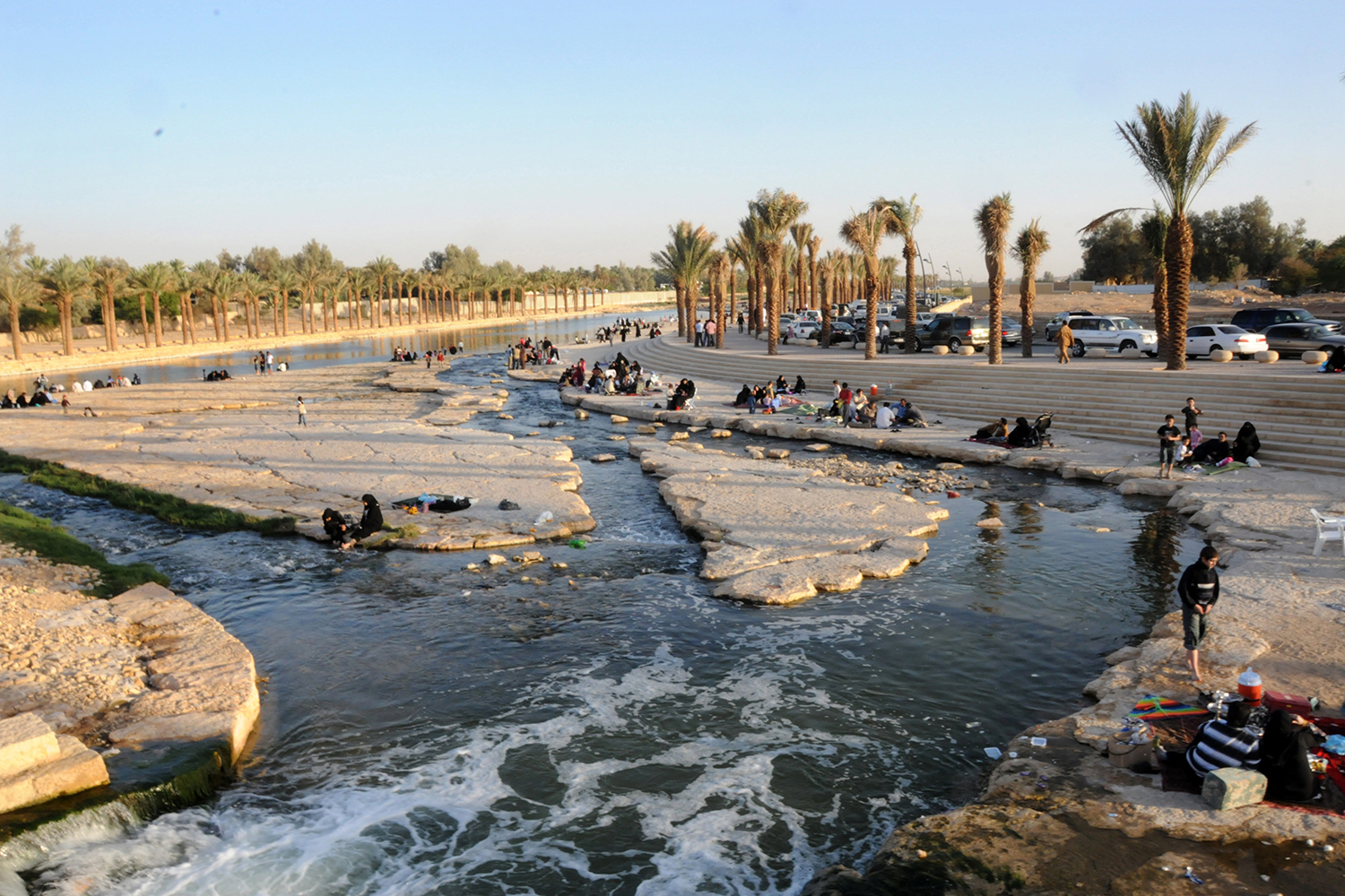
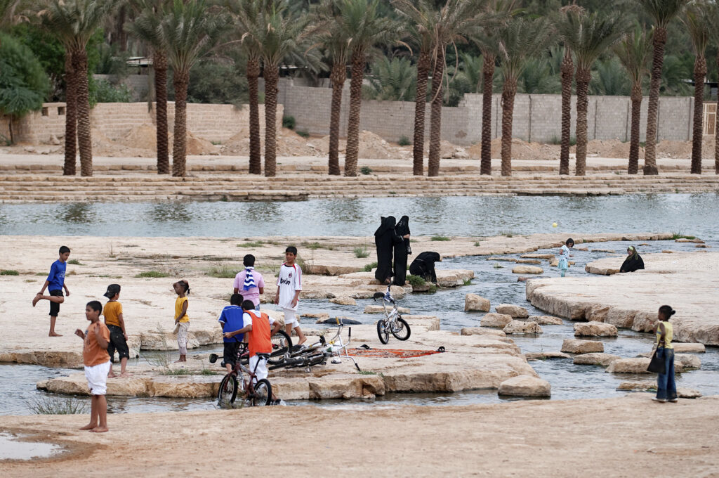
Wadi Hanifah is a 120km long, 4500km2 watershed that passes through the city of Riyadh. Located in the middle of the Najd Plateau, it is the most significant natural feature in the region.
With the city’s population projected to more than double from approximately four million residents in 2004 to almost eight million by 2025, the demand for high quality public recreational and amenity space was rising.
The delivery of the Wadi Hanifah Comprehensive Development Programme (WHCDP) by the Arriyadh Development Authority (ADA) in 2010 went a long way in responding to the demand for public space whilst addressing other urgent issues such as flood risk management, environmental protection and landscape rehabilitation. Following Buro Happold’s role in the successful delivery of the WHCDP from 2001 to 2010, the ADA commissioned our team to prepare a Flood Management Plan.


Challenge
The key objectives of the Flood Management Plan were to protect life and property as far as reasonably possible, allow the city to proactively manage and respond to the risk of flooding, implement a rainfall and flood monitoring system, and control the development of land in areas of higher flood risk.

Solution
Our team determined that the best available data on the Wadi and its surrounding catchments would be needed in order to provide the city with a fully informed analysis of the risks and how to respond to them. We undertook a detailed site appraisal of over half of the Wadi network, mapping and recording all assets and features that were at risk from flooding.
Using 2D hydraulic modelling of the Wadi system and in combination with detailed LiDAR topographic survey data, we predicted flood flows, flood levels and extents for a range of storms. The output from this modelling has given the ADA the most detailed flood mapping ever produced for Riyadh, which the city will use for development control purposes.
Using the results of this detailed flood risk analysis, we have also developed a detailed rainfall and flood monitoring system. This has allowed us to define and specify a flood warning system that the city can use to guide their Civil Defence team to the most appropriate response during flood events, significantly improving its disaster management capability.
Value
The results from the modelled scenarios have been incorporated into the comprehensive Flood Management Plan and used to inform a flood warning and response strategy to reduce the risk to life and property posed by flooding. The Wadi Hanifah Flood Management Plan will act as a benchmark for future flood risk management and mitigation work throughout the Kingdom.
Wadi Hanifah Park is now a stunning addition to Riyadh, providing much needed recreational space for the community while enabling a sustainable future for the city’s water use.